
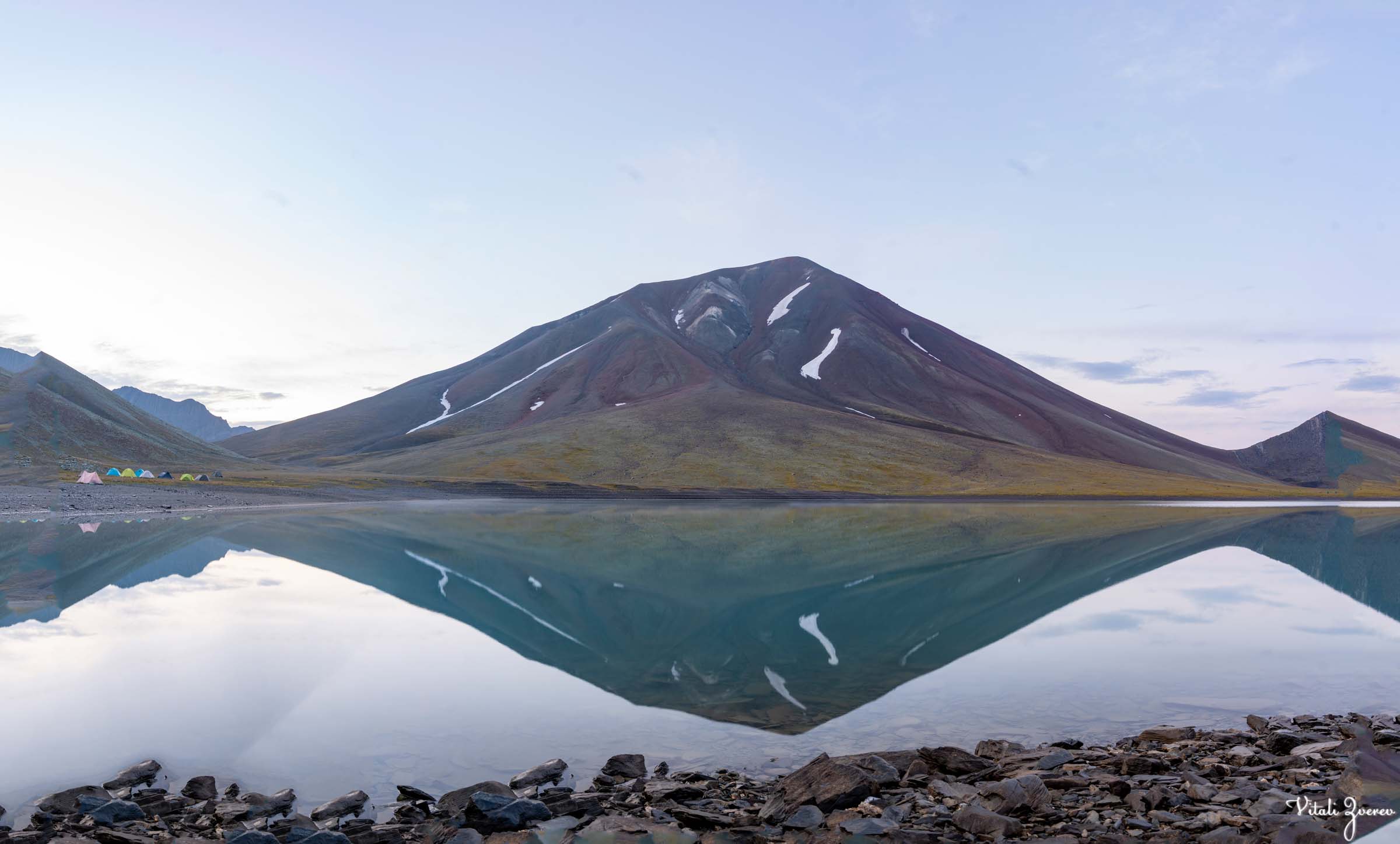
Khelitsadi Lake is one of the most demanding hiking routes in Georgia. The trail begins near the entrance of Truso Valley, where it turns left and immediately starts climbing deeper into the mountains of Kazbegi — a region of volcanic ridges, loose stone, and high alpine silence.
But this story starts differently.
For the first time, there was no “three of us.”
Ann had left the country for work. Tako had already used all her holidays after our nine-day XTP expedition through Khevsureti, Tusheti, and Pankisi — around 110 kilometers with full backpacks, tents, and food. One day I will write that story properly, because it deserves its own space.
After XTP, I was in excellent shape. So when a few free days opened up, I joined the hiking group Green Zebra for the Khelitsadi trek.
Even hard hikes felt easy after that.
Khelitsadi Lake doesn’t belong to the category of famous alpine lakes like those in the Alps or Himalayas. Instead, it sits in a rarer space—remote volcanic wilderness lakes that require multi-day commitment, precise navigation, and full self-reliance. In terms of infrastructure, it is closer to untouched expedition terrain than a marked hiking destination, which is what makes it feel far more extreme than its altitude alone suggests.

About Khelitsadi Lake Before the story — some context about where we were actually going.
- Khelitsadi Lake is one of the highest alpine lakes in Georgia, located at around 3060–3080 meters above sea level in the Kazbegi region.
- The lake was formed by ancient lava flows, which blocked water naturally and created the basin. The entire surrounding area is shaped by volcanic activity, glacial erosion, and harsh alpine weather.
- For most of the year, Khelitsadi remains frozen. Snow and ice usually cover the lake for 8–9 months annually, with the surface fully melting only during late summer.
- Despite sitting above 3000 meters, hikers often describe the lake water as surprisingly less freezing than expected during August and September, when the sun warms the shallow edges.
- There are no fish in Khelitsadi Lake. The lake has no visible surface outflow and is mainly fed by snow, rain, and underground water sources.
- The route through Khorisari Pass is considered one of the hardest trekking sections in Georgia. At roughly 3550 meters, the pass is even higher than the famous Atsunta Pass in Tusheti.
- The volcanic ridges around Khelitsadi are often compared to Mars or another planet because of their red stone, ash-colored terrain, and almost vegetation-free landscape.
- Nearby stands Sherkhota Mountain (3701m), one of the best sunrise viewpoints in the area. From its summit, hikers can see Khelitsadi Lake, Truso Valley, Gudauri, and even Mount Kazbek on clear mornings.
- Another nearby alpine lake, Archvebis Tba (“Chamois Lake”), is visible from Sherkhota but remains difficult to access due to steep terrain and protected areas.
- Wildlife around the lake includes Caucasian chamois, mountain birds, and occasionally bears. Chamois sightings are considered lucky among hikers because they move through cliffs that seem impossible to cross.
- The trail is so remote and difficult that even horses rarely use the route. Most hikers complete it as a three-day backpacking trek with camping gear and food.
- GPS navigation is strongly recommended around the ridges and descents. Fog can appear suddenly, making the volcanic terrain extremely disorienting.
- The surrounding plateau near Samotkhis Sabanake (“Heaven’s Campsite”) is famous among Georgian hikers for its unusually flat alpine grasslands hidden between harsh volcanic mountains.
- Many Georgian hikers describe Khelitsadi not simply as a destination, but as an experience of complete alpine silence — a place where wind, volcanic stone, and distance make the landscape feel detached from the rest of the world.
Starting of the hiking already looks epic, just look at this landscapes


Day One — Samotkhis Sabanake
The route begins with a steady climb toward Samotkhis Sabanake — “Heaven’s Campsite.”
The name is accurate in a way that feels almost unfair.
After hours of volcanic terrain — black and rust-colored stones scattered like old ash fields — the mountains suddenly open into a vast, perfectly flat plateau. It sits between ridges like something placed there by mistake. How nature left such a flat piece of land in this mountain chaos still feels like a mystery.
We reached it quickly. The first day is only around 5–7 kilometers with a gentle ascent.
I remember standing there and thinking how strange the transition felt — chaos turning into silence without warning.
We set up tents, cooked a hot meal, and ate at altitude. Simple food, but it felt earned.
Later I walked the surrounding ridges with my camera. From one angle, I could already see the ridge waiting for the next day — long, loose, and unstable, like it didn’t belong to solid ground.
That night was quiet.
Early morning, I filmed a timelapse of Mount Kazbek — Mkinvartsveri, “Glacier Peak.” I’ll attach it with the post.
After breakfast, everything slowly shifted toward the real challenge: Khelitsadi Lake.
We reached Samotkhis Sabanake, photos from our campsite


Day Two — The Ridge
The moment we left camp, the slope started rising.
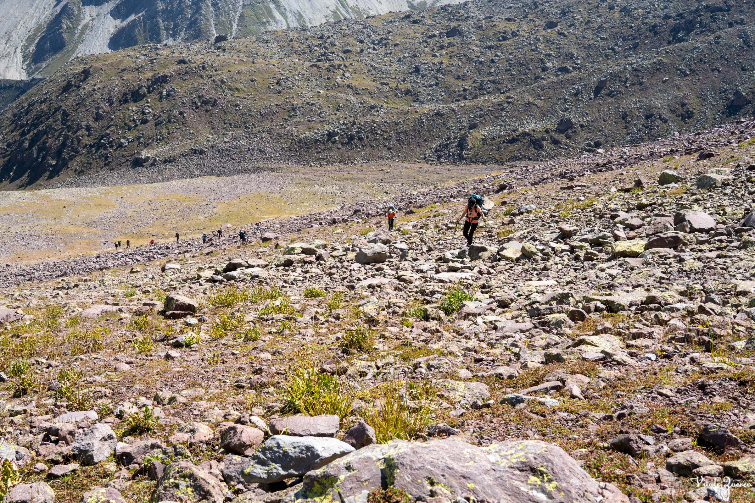
Soon the trail broke into volcanic boulders. Every step became a small negotiation — jump, balance, slide, repeat — while carrying full weight on our backs.
At the base of the ridge, we stopped and looked up.
From below it had seemed manageable. From here, it didn’t.
The climb began.
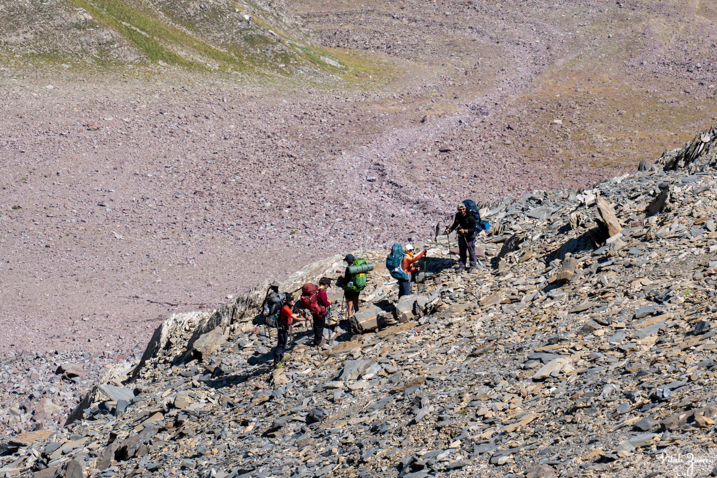
This is second day, we woke up, prepared and went up, ridge is the main challenge of this trek
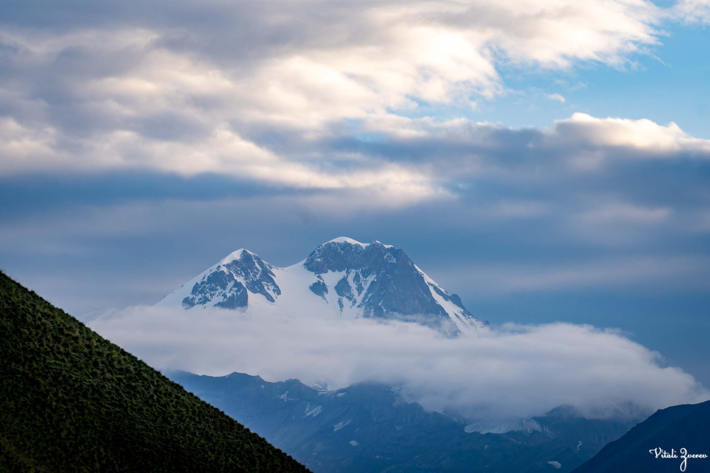




▶️ Checkout timelapse of Mkinvarstveri that I took early in the morning
The ground turned loose and sandy, collapsing slightly under every step. Progress slowed to a rhythm of effort and correction — two steps up, half a step back.
Our guide Lentro grew increasingly concerned about timing. If we kept this pace, the lake might slip behind sunset.
I moved ahead to scout a better line. After XTP, the movement felt natural, almost automatic. I kept climbing until the group disappeared below me and I reached the ridge alone. Lentro had been with us on XTP as well — both trips organized by Green Zebra.
At the top, the landscape changed completely.
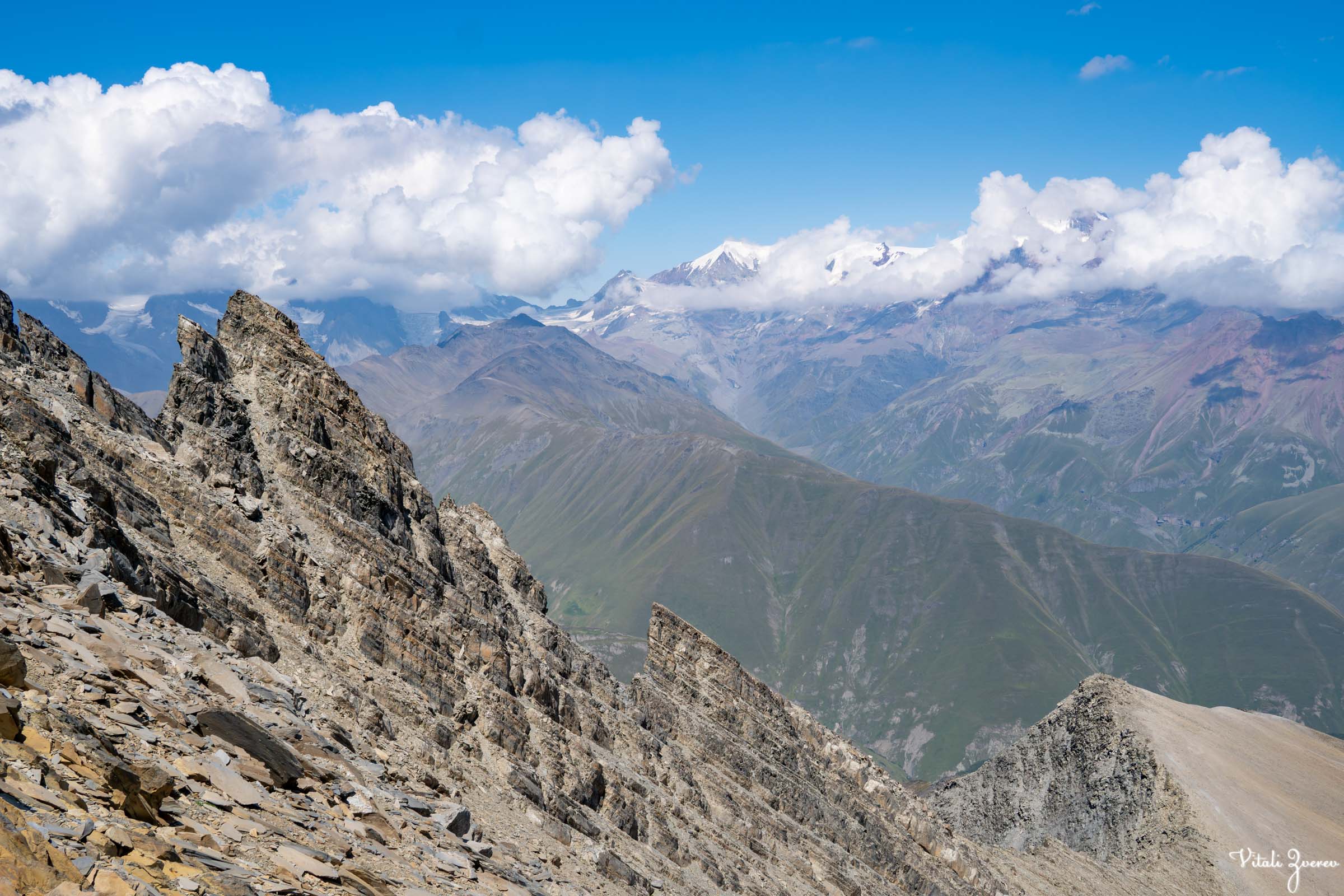
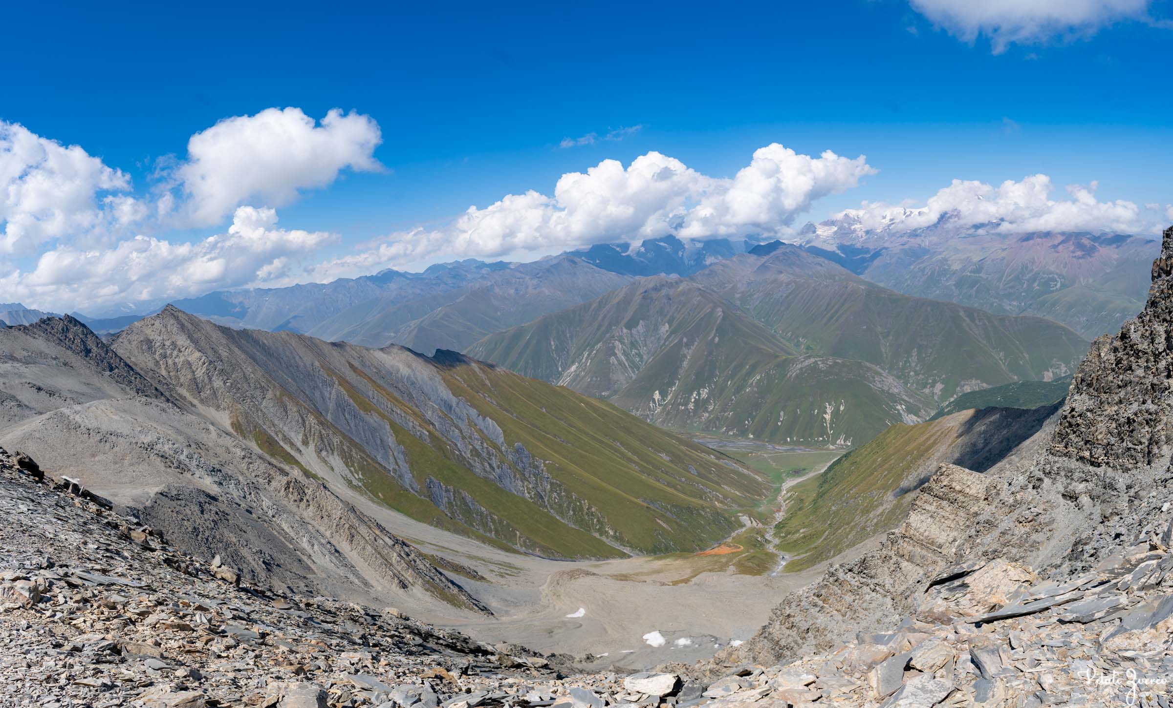
It wasn’t just wide — it felt stripped. Red volcanic slopes stretched in every direction, cut by ancient fractures and ridgelines. Below, Truso Valley opened like a map, and across it stood Sherkhota Mountain.
I dropped my backpack. Took off my shirt and shoes. Walked barefoot across broken stone warmed by the sun.
There was no sound except wind moving through rock. I stayed there alone until the others slowly appeared below and climbed up after me.
We regrouped and began the descent.
On top of the ridge and view from there, like another planet, Mars


Going down was faster, but not safe. Loose stones shifted constantly, so we moved one by one, careful not to send anything rolling.
Halfway down, I broke off the path.
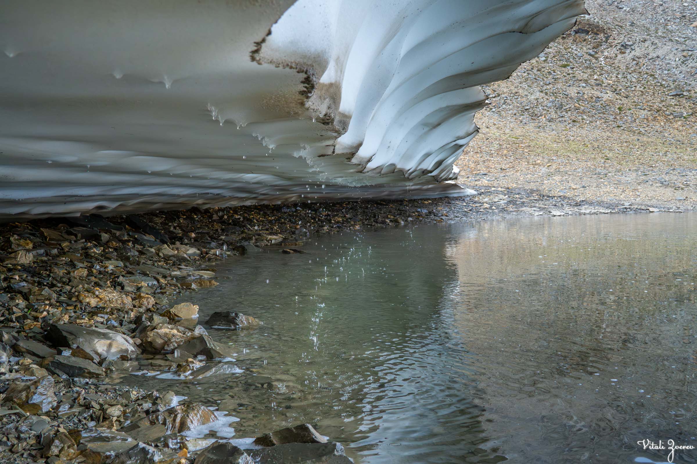
A small lake appeared below the ridge — isolated, surrounded by steep pale walls like frozen waves. No one in the group knew its name. I reached it alone for a short moment before returning. I’ll attach photos — it felt unreal.
We continued.
A grey wild bird crossed the trail — unbothered, almost indifferent to us being there at all.
Then came the chamois.
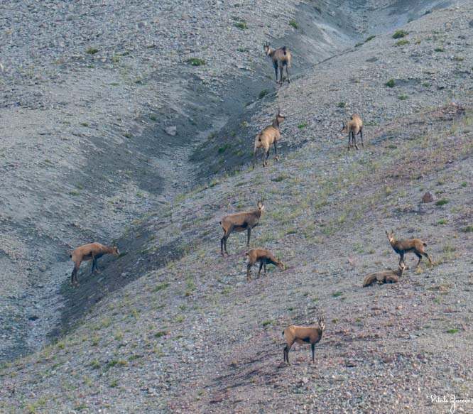
Among hikers, seeing chamois is considered lucky. At first, I thought it was cattle in the distance — which made no sense in this terrain. I lifted my zoom lens and saw them clearly: chamois standing on near-vertical rock faces.
They moved with ease, stepping across cliffs that felt impossible for anything solid-bodied.
I kept photographing them longer than I meant to. One of them paused on a ledge, looked down for a moment — completely still — then turned and slipped behind the ridge.
Going down from the ridge and encounter with wildlife, can’t believe how lucky I got



One by one, they followed, until the rocks were empty again.
Only the wind stayed.
I packed the camera and continued toward the lake.
Khelitsadi Lake
The sun was already sliding behind the peaks when we arrived.
In the mountains, light doesn’t fade — it disappears.
We reached the lake just as cold air started pushing through the valley. I set up my tent quickly while mist moved across the water in thin layers. The sky stayed heavy, but I still hoped for a night timelapse.
We arrived at lake, after so many kilometers, destination is reached!


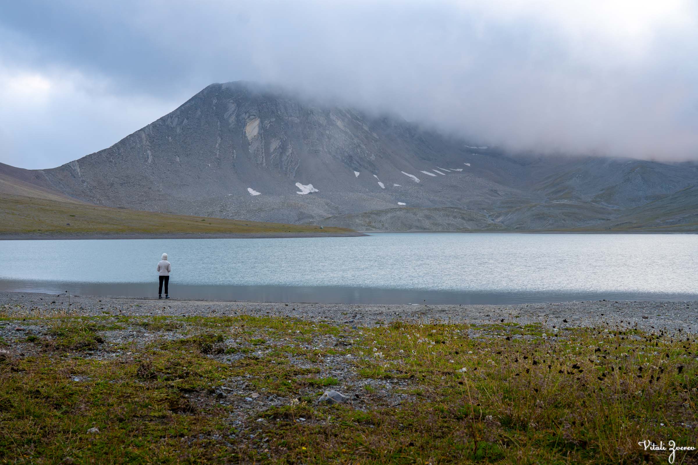
Some people decided to swim in the lake despite the cold wind. That was insane, but impressive in its own way.
After dinner, I set up my camera for the night and slept early.
There was one more plan waiting for the morning: Sherkhota.
▶️ Timelapse of the lake Khelitsadi at night
Sherkhota — Sunrise Above the Lake
Before dawn, a voice outside the tent woke me.
It was Mariam.
The plan from the night before was simple — a small group would climb Sherkhota Mountain for sunrise. She reminded me we were leaving.
That detail mattered — I wouldn’t have gone without that wake-up. I’m grateful to her for it.
I got up quickly, ate some snacks, checked the timelapse (clouds had ruined most of it), and took a few tripod shots around camp — including one that later became my profile picture.
At 6:00 AM, four of us started climbing without backpacks.
Even after XTP, this was genuinely challenging. From our group, only three others joined — four of us total.
The ascent was sharp from the beginning. Large stones, frozen air, and rising light that hadn’t yet reached the valley.
Going up mountain Sherkhota early in the morning


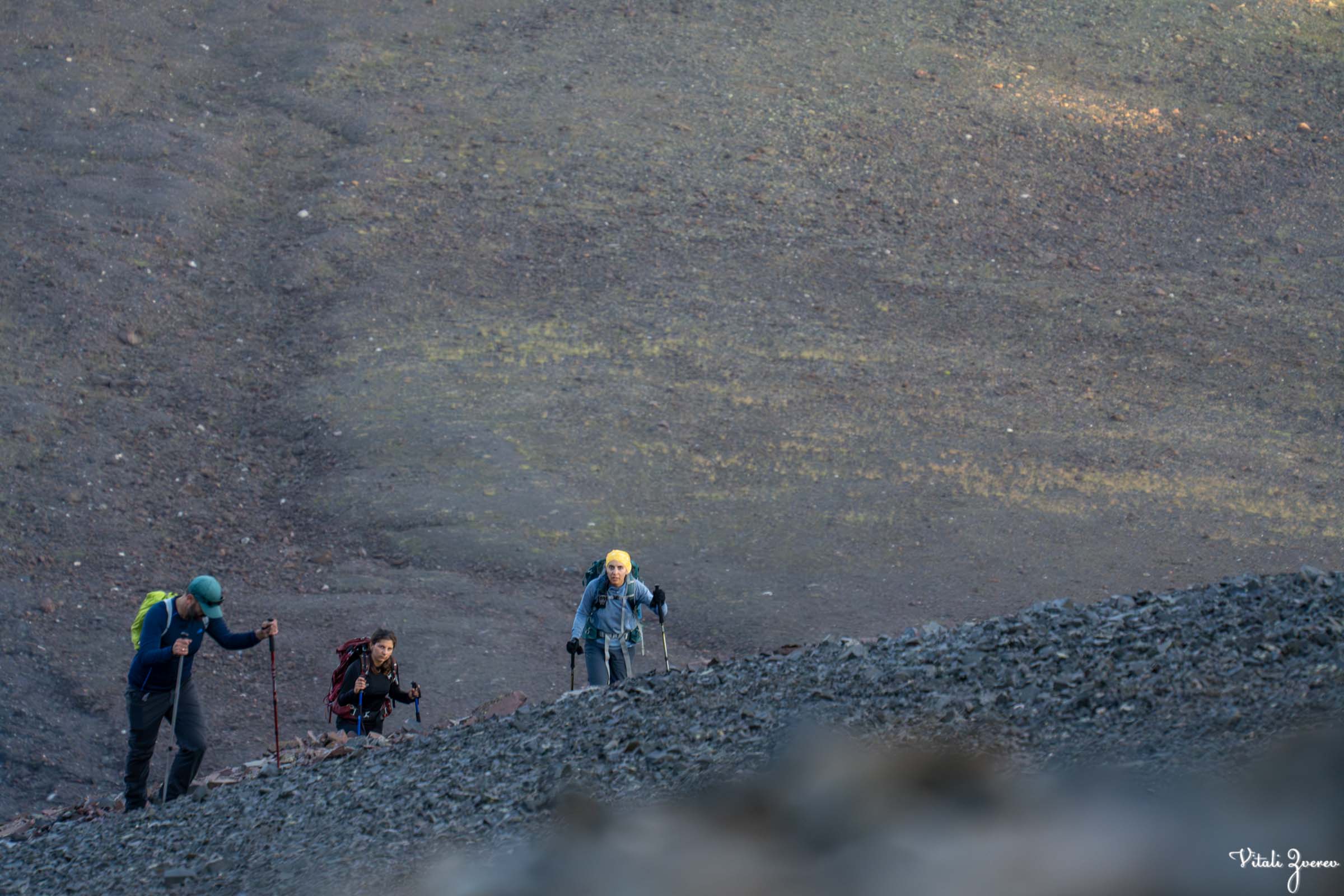
I moved ahead slowly, checking behind me every few minutes. After around 30–40 minutes, I reached the summit.
Cold wind hit immediately.
Below, Khelitsadi Lake sat still in its basin. Nearby, the smaller Archvebis Tba — Chamois Lake — was visible but unreachable, protected and distant. From up there, I could even see the Gudauri Friendship Memorial — and from that memorial, they say you can see Sherkhota itself.
The summit was marked by a metal structure, rusted and wind-beaten, standing alone on stone.
This is view from top of the mountain Sherkhota, landscape is like out of this world
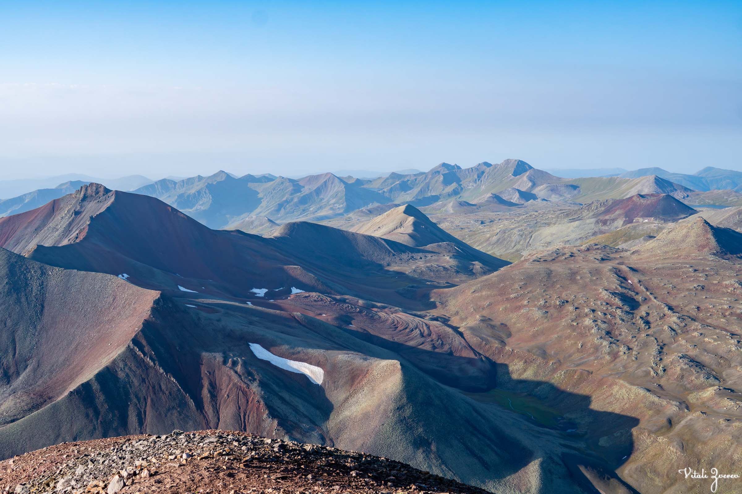


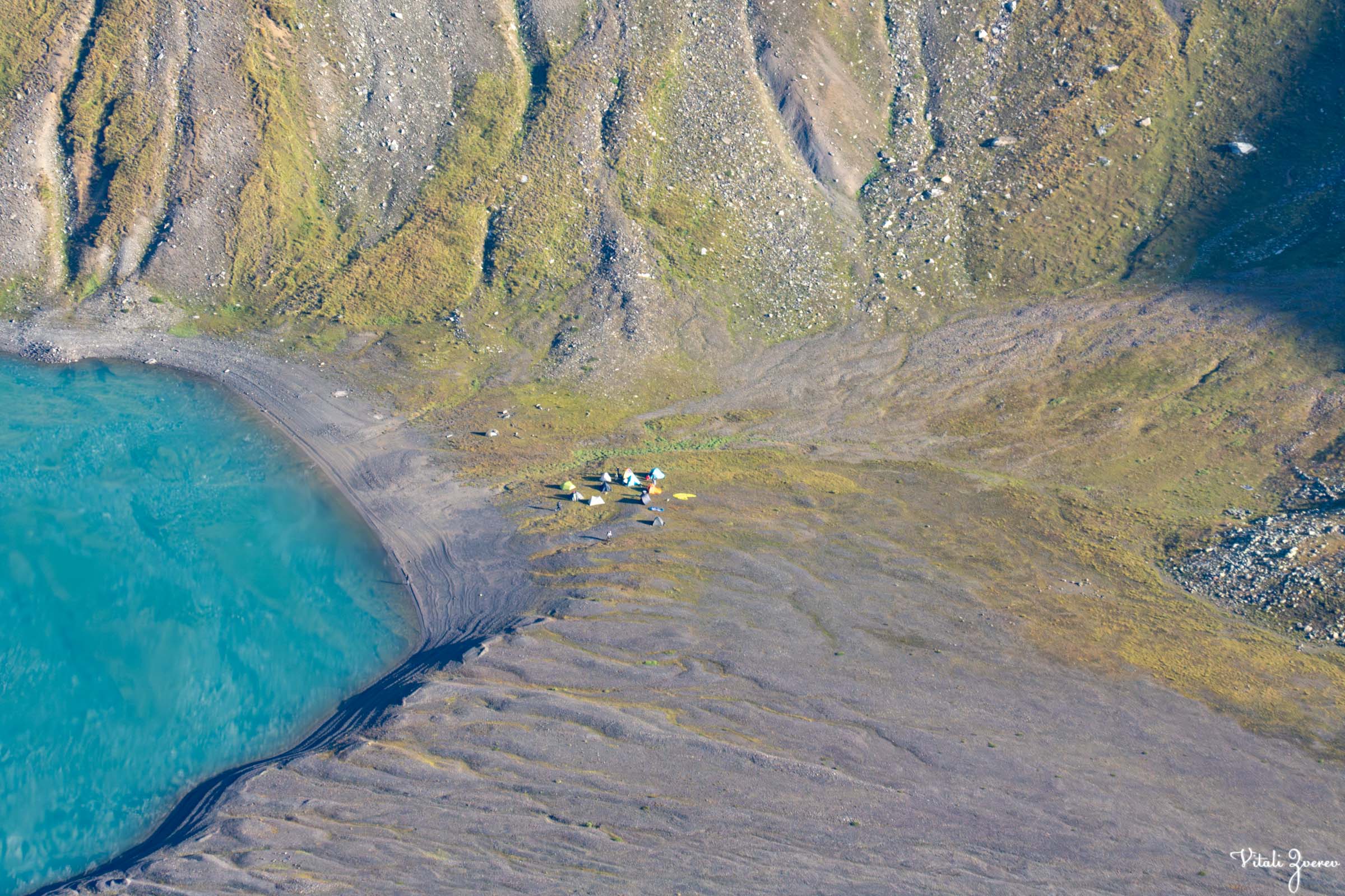

But the real moment wasn’t the structure or the view — it was the silence between gusts, when everything briefly stopped moving.
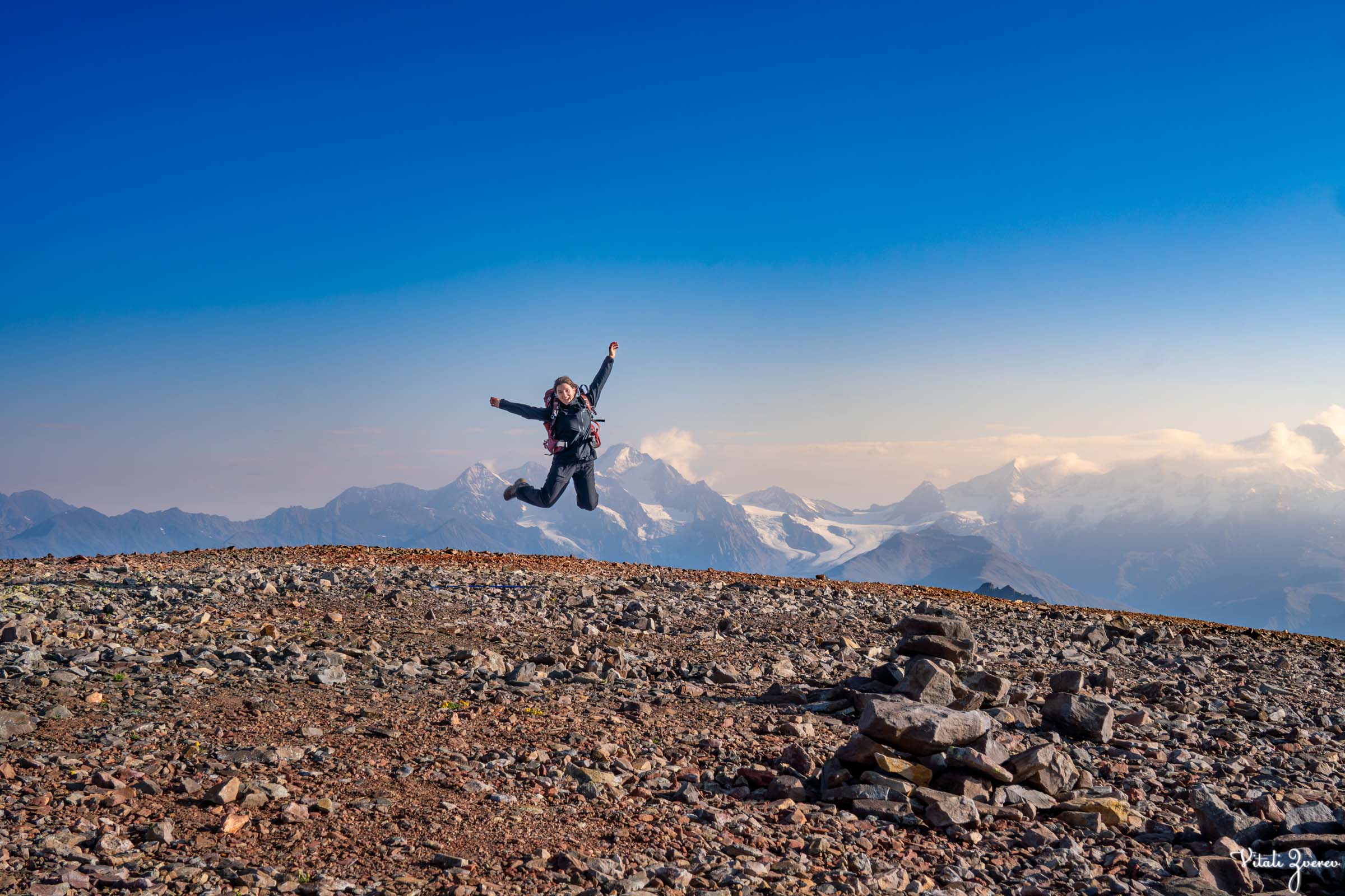
Eventually, the others reached the top. They were as excited as I was. I took portraits of them and later shared the photos — I’m glad I could give them those memories.
We stayed only as long as we could before the cold forced us down. The third day was already waiting.
Four of us on top, memories that will stay with us forever



Day Three — The Long Descent
Back at camp, everyone was full of questions. The climb had already become its own story.
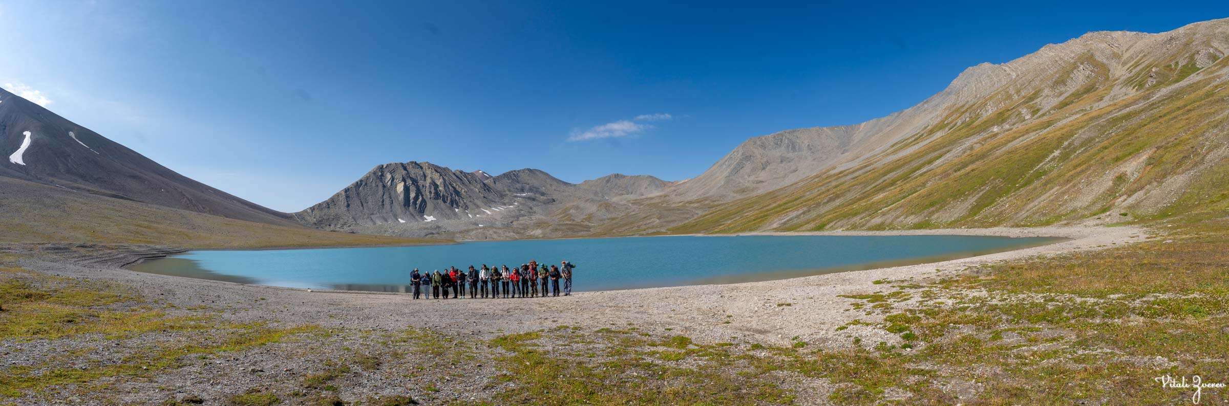
We ate quickly, packed everything, and prepared to leave. Before starting the descent, I took a final group photo near the lake.
Then we moved.
Before dropping into Truso Valley, we climbed one last ridge that opened the lake from a completely different angle. From there, Sherkhota and Khelitsadi aligned in the same frame — mountain above water, both suspended in silence.
We rested briefly, then began the long descent.
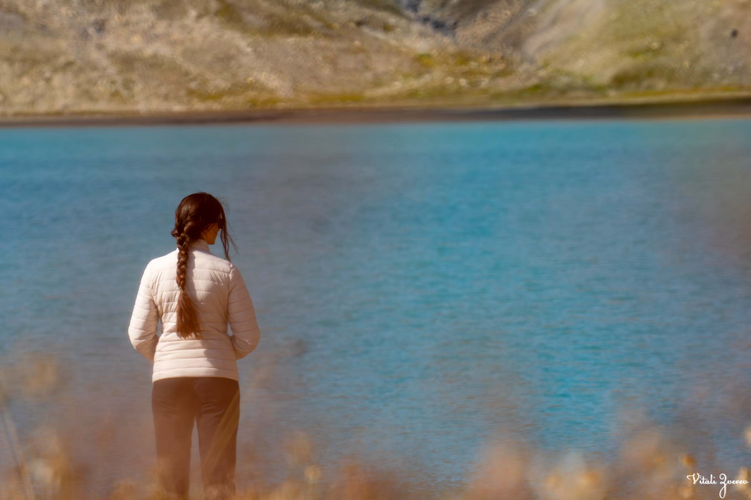
Group photo and preparation to descent from Khelitsadi lake



A sharply shaped red mountain stood out along the route. Below it, a stream gradually grew stronger as we lost altitude.
The first half of the descent was manageable.
The final section was not.
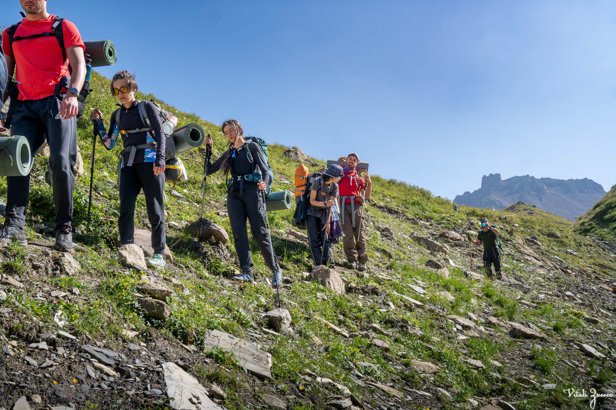
The trail became narrow, steep, and in places had been washed away entirely by past rains. One wrong step could have ended badly. We moved slowly, carefully, until the ground finally softened near the valley.
The day stretched on until evening.
I reached the end first and walked toward the ruins of Zakagori Fortress.
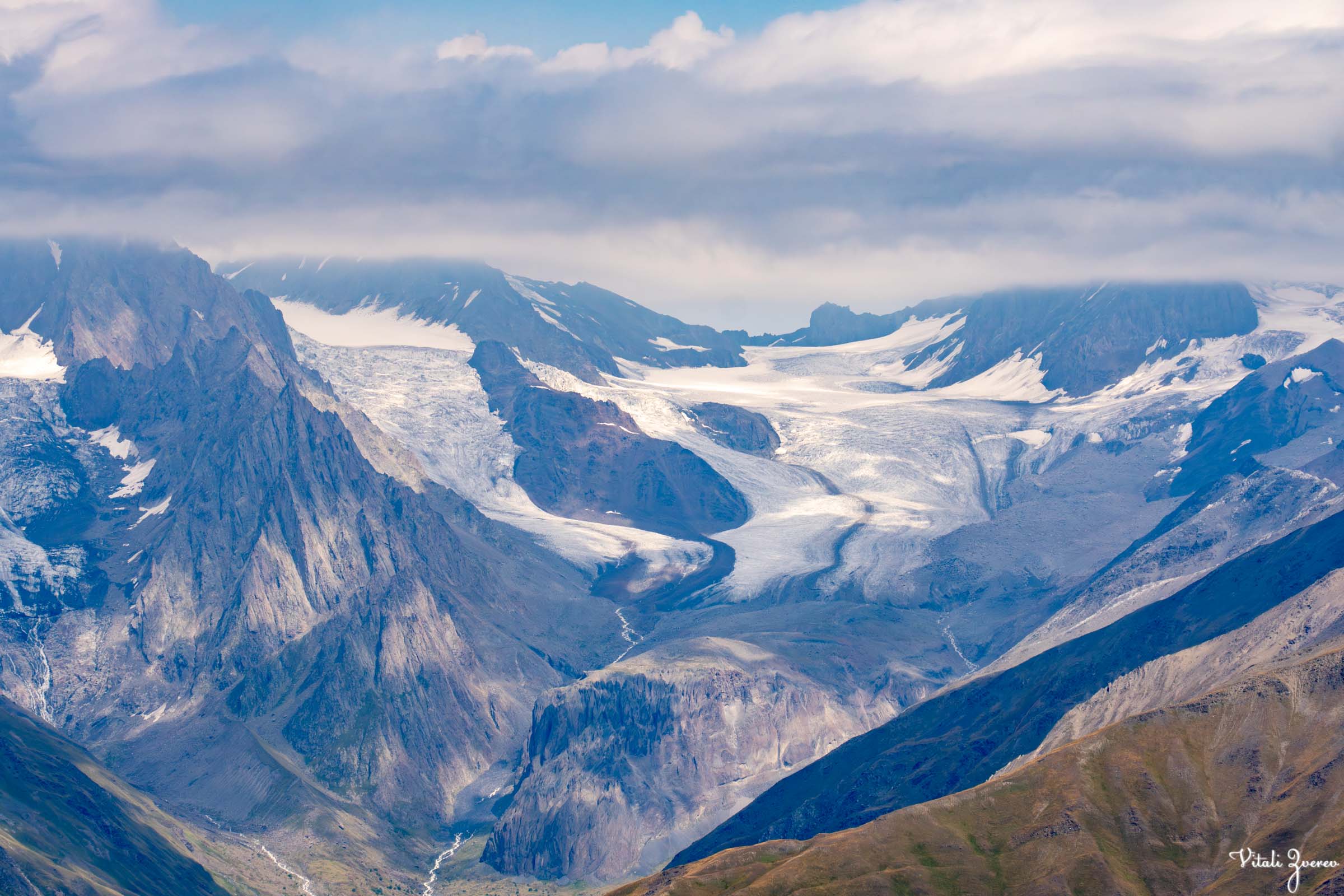
View on our way back to Truso valley, this time on the opposite end of the valley



The Return
I changed clothes, washed my face in cold water, and finally sat down to rest.
The Green Zebra driver — Avto, “Uncle Avto” — was already there waiting. One of the kindest people you could meet. We talked while waiting for the rest of the group.
One by one, they came down safely.
We loaded into the minibus and left the mountains behind.
Three days. One ridge. One lake. One summit that catches early light before the world wakes up.
And still, one thought stayed with me the entire way back.
There was no “three of us” this time.
I kept thinking how this place would feel if Tako and Ann were there — Tako, who had already walked here years before I met her, and Ann, who still hasn’t seen it at all.
Maybe next time, it will be different.
Maybe next summer, it will be three again.


